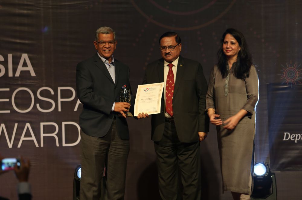
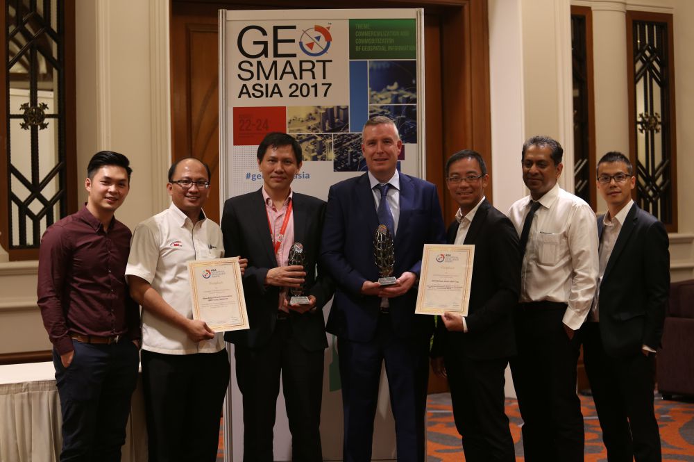
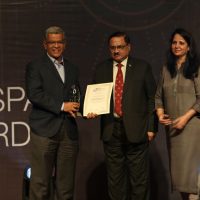
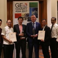
VICTORY was on the cards for Malaysia Rapid Transit Corporation Sdn Bhd (MRT Corp) in the Asia Geospatial Excellence Awards 2017. The organisation had won 2 awards during the Gala Dinner and Awards Night that was held at Marriott Putrajaya on 23 August 2017.
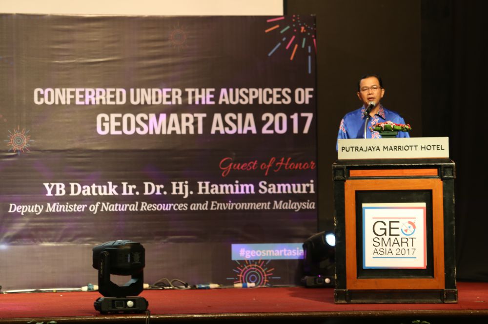
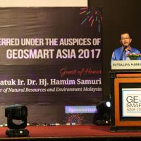
The guest of honour for the gala dinner was Natural Resources and Environment Deputy Minister Datuk Ir Dr Hamim Samuri.
The first award that MRT Corp had triumphed in was in the Transport Infrastructure Category for its Building Information Modelling (BIM) Level 2 Implementation throughout the design and construction of MRT Sungai Buloh-Serdang-Putrajaya (SSP) Line.
BIM is a process for creating and managing information on a construction project across the project lifecycle in virtual environment. It allows users to visualise, collaborate and analyse every aspect in engineering design.
The second award won by MRT Corp was in the Digital Engineering Category for the use of Geographical Information System (GIS) for the MRT SSP Line. It was a collaborative effort from MRT Corp, MMC-Gamuda KVMRT (T) Sdn Bhd and AECOM Asia.
GIS is an advanced mapping tool that is designed to capture, store, manipulate, analyse, manage and present all types of geographical data. GIS allows data from all departments, unified and presented on an interactive map, enabling decisions making and answer tough questions both quickly and effectively.
These awards recognise the exemplary innovations and practices in geospatial information and technology.
Commenting on the achievement, MRT Corp Planning and Design Deputy General Manager Mr Yeap Beow Heng said that he was surprised but proud with the achievement. The system that started in early 2016, has proved to be fruitful and works are still ongoing to improve the system further.