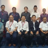
A knowledge sharing session on Geographic Information System (GIS) was held by Malaysia Rapid Transit Corporation Sdn Bhd (MRT Corp) for Malaysia Rail Link Sdn Bhd (MRL) on 26 June 2019. This is aligned with MRT Corp effort to continuously inspire the rail industry to implement GIS in pursuit of enhanced productivity, efficiency and quality project delivery.
The six-strong delegation from MRL was led by Encik Jeflysham Osman, Head of Department – System. MRL planned to implement the GIS System for the East Coast Rail Link project and through this visit, the delegates hoped to understand how the GIS System was implemented for the Sungai Buloh-Serdang-Putrajaya (SSP) Line Project.
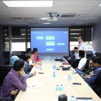
The session started with MRT Corp Planning and Design Director Er. Poh Seng Tiok sharing a presentation on the background of the SSP Line Project and explaining the key planning, design challenges and advancement process using Digital Engineering technology in the SSP Line design process.
The session continued with a comprehensive overview of implementation of GIS in SSP Line by Senior Manager of MRT Corp Planning and Design, Encik Ahmad Aswadi Yusof. Among the topics covered in his session were Project Challenges, GIS Workflows and Solutions, Reality Modelling, Unmanned Aerial Vehicle (UAV) and GIS/UAV Best Practice as well as case studies on the GIS Implementation for the MRT Titiwangsa Station.
Encik Azhar Abdul Aziz, MRT Corp Assistant General Manager of Land Management then briefed the MRL delegation on land management process and shared how the land information were interfaced with GIS.
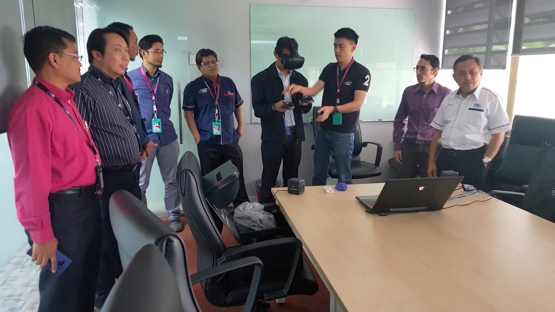
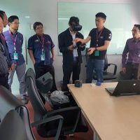
The visit ended with the delegation experiencing a Virtual Reality showcase walkthrough of the MRT Titiwangsa Station Control Room by Mr Chong Min Chun, MRT Corp Planning and Design Engineer.