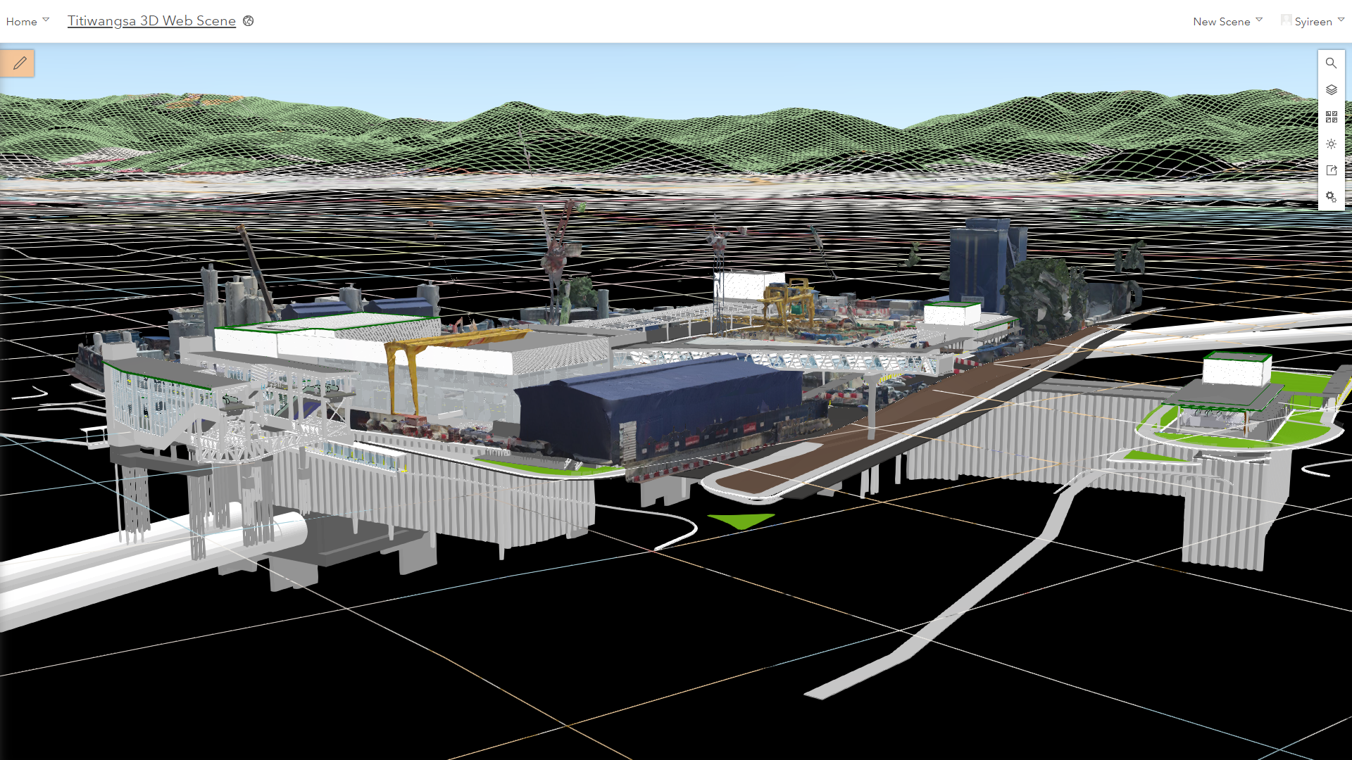
Malaysia Rapid Transit Corporation Sdn Bhd (MRT Corp) has won this year’s Special Achievement in GIS (SAG) Award by Esri Inc for its implementation of the first cloud-based Geographic Information System (GIS) in Asia by fully integrating Building Information Modelling (BIM) and Reality Modelling into the ArcGIS Portal.
The SAG Award by the United States GIS software, location intelligence, and mapping company is one of most coveted in the GIS industry internationally. This award is given to Esri users around the world for their outstanding work with GIS technology.
MRT Corp was selected out of more than 100,000 organisations worldwide for its innovative use of GIS and BIM technology in the Architecture, Engineering & Construction (AEC) industry.
The SAG Award winners were announced at the Esri User Conference 2019, attended by over 19,000 attendees on 8 July 2019 at the San Diego Convention Center, United States.
Thousands of SAG Award nominations are submitted by Esri users every year from around the world. The submissions are then personally reviewed and selected by Esri President and founder, Mr Jack Dangermond himself.
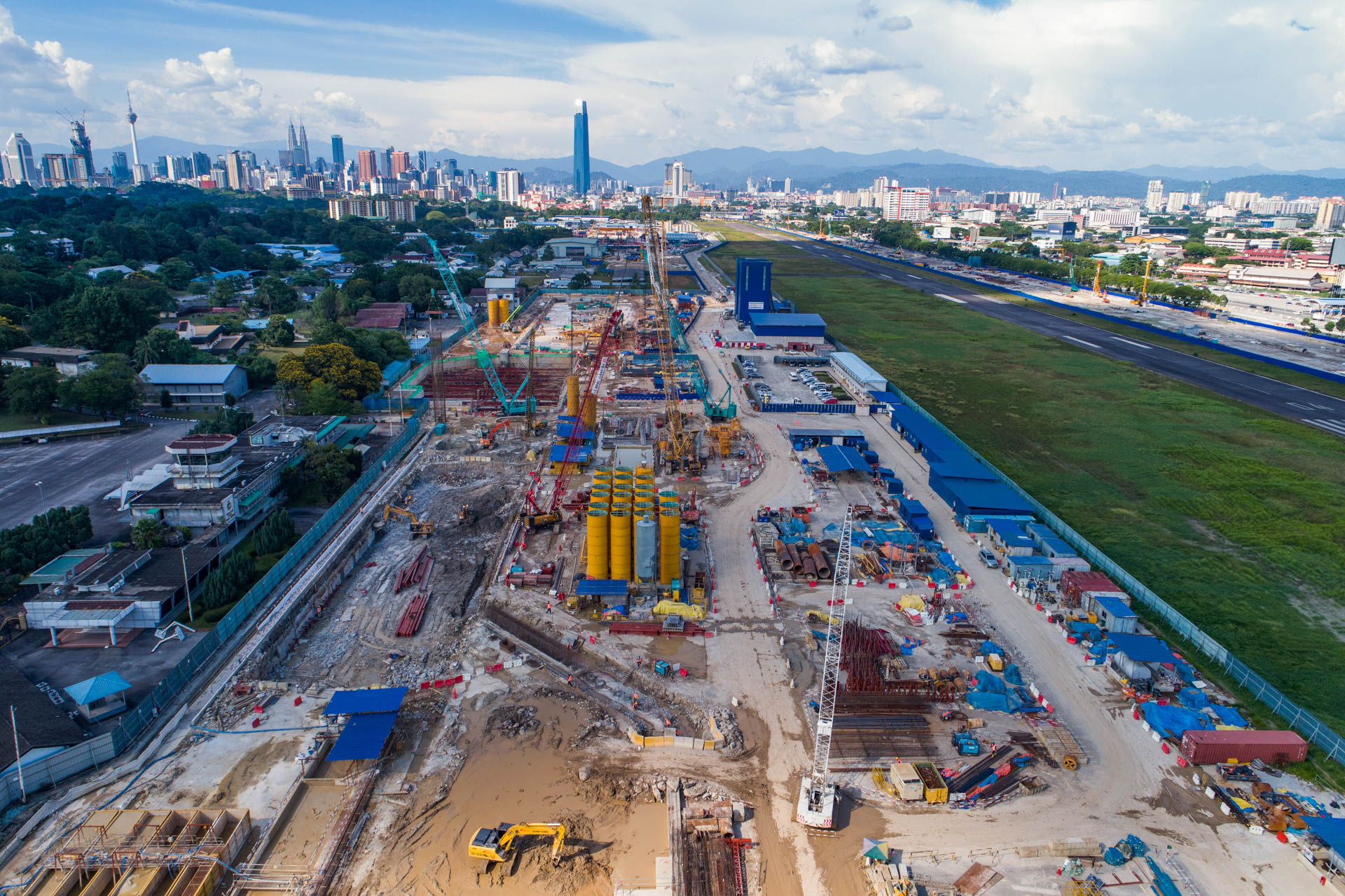
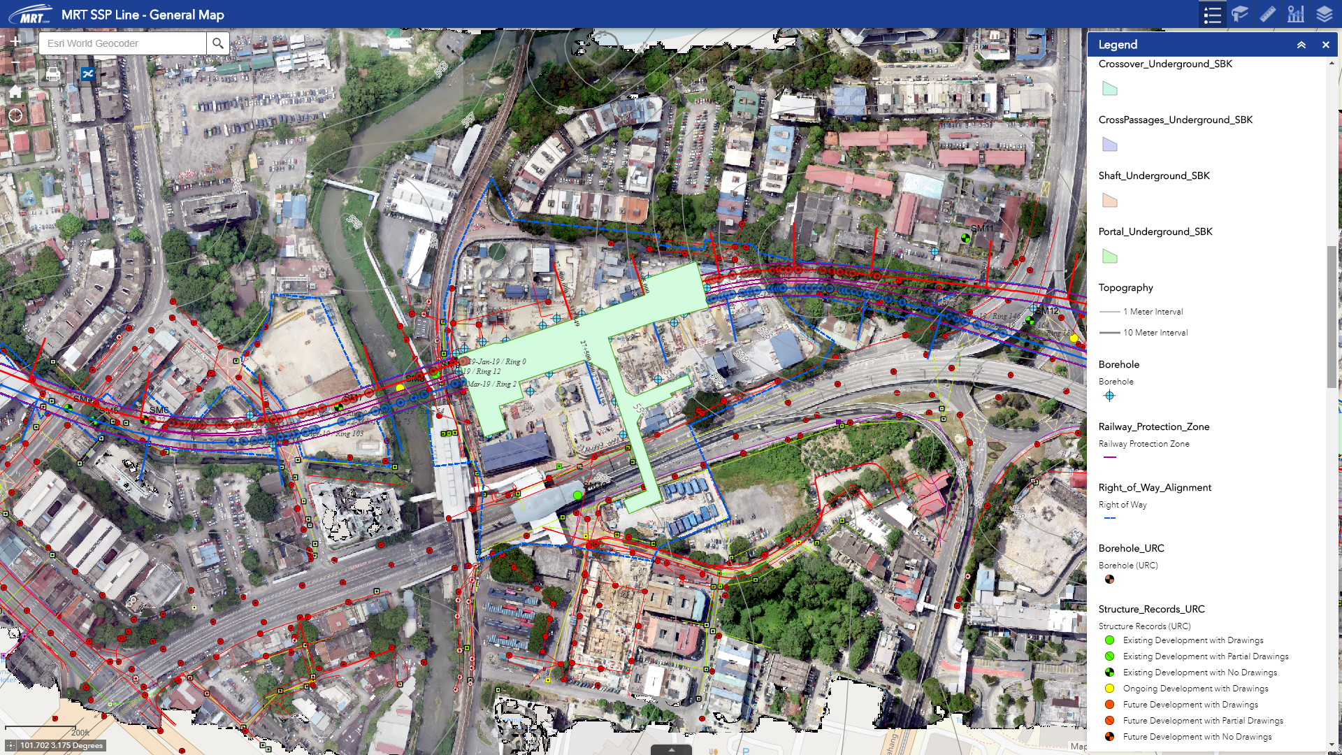
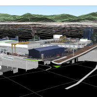
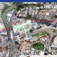
The Sungai Buloh-Serdang-Putrajaya (SSP) Line Geospatial Web Portal powered by ESRI ArcGIS technology serves engineering, topographic and environmental data of project sites for better informed decision making, improved project execution and reduced risk exposure.
The portal has enabled the project teams to retrieve and access spatial data in an easy-to-use cloud-based platform which has increased productivity, data-sharing and data retrieval between different engineering disciplines.
It has facilitated the collaboration and sharing of geospatial information in a centralised cloud platform. The project team can easily explore and navigate the mapping platform; layering it with data from other disciplines.
The project team members can view, analyse and query data on this platform; increasing overall productivity and ease of data sharing between disciplines, contractors and departments.
The MRT SSP Line Project has been recognised as the industry leader for advanced digital technology implementation such as BIM Level 2 and GIS in this region and as a testament to the use of technology to enhance productivity, efficiency and quality for project delivery.